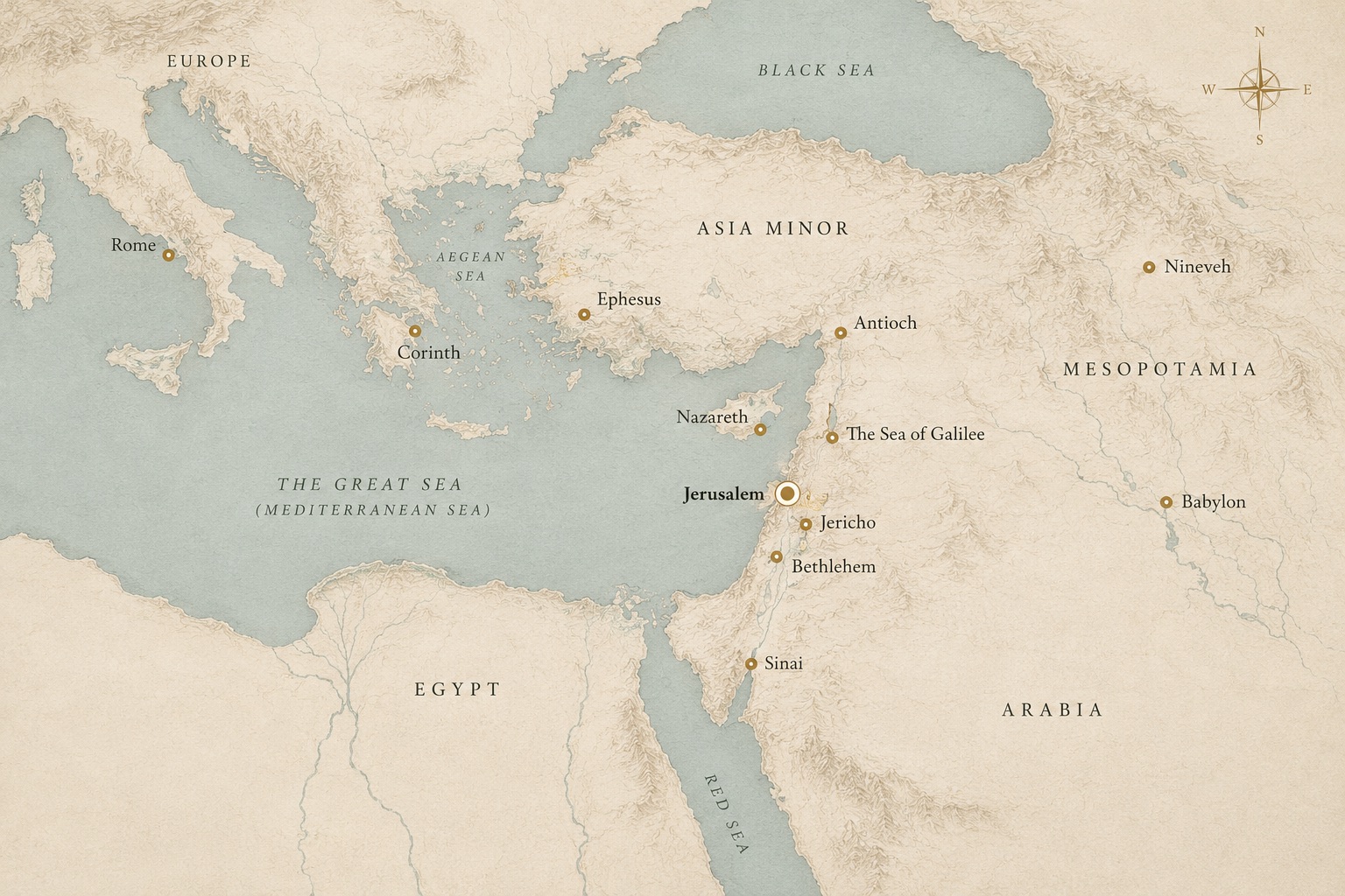
A wealthy port city with a mixed, transient population. Paul spent around eighteen months here, and the letters back to this church are among the most practical in the New Testament.
A major Roman city known for the temple of Artemis, one of the wonders of the ancient world. Paul worked here for around three years, and a riot in its theatre is described in Acts.
A large Greek-speaking city in the north, and the base the mission to the wider world went out from. Acts notes that followers of Jesus were first called Christians here, in a congregation that was Jewish and Gentile together.
One of the oldest continuously inhabited cities in the world, and the road Saul was travelling when the account in Acts says he was stopped. A Jewish community was long established there.
A fishing village on the north shore of the lake, and the town the Gospels treat as Jesus’ base during the Galilean ministry. Its synagogue and a first-century house have been excavated.
The great Greek city of Egypt, with the largest Jewish community outside Judea. The Septuagint — the Greek translation of the Hebrew Scriptures quoted throughout the New Testament — is traditionally associated with it.
Capital of the Assyrian empire, on the Tigris near modern Mosul. Jonah is sent to it; Nahum announces its fall. Its ruins and royal library were excavated in the 19th century.
The great city on the Euphrates, and the place of exile after Jerusalem fell. Daniel and Ezekiel are set here, and much of Jewish life was reshaped in it.
The center of the story. David’s capital, the site of the temple, the city where Jesus was crucified and where the church began. Destroyed and rebuilt more than once.
A refuge and a place of bondage at different points in the story — Joseph rises to power here, Israel is enslaved here, and the Gospels place the young Jesus here for a time.
The mountain where Israel receives the law and enters into covenant with God after leaving Egypt. Its exact location is not certain, and several sites have been proposed.
The shapes here are drawn for legibility, not accuracy. Distances are not to scale, coastlines are simplified, and the pins are placed to be readable rather than surveyed. For real geography, an atlas or a mapping service will serve you far better — this is a diagram of a story, meant to show how far apart its places were and how often the same few keep returning.